
Filter by
SubjectRequired
LanguageRequired
The language used throughout the course, in both instruction and assessments.
Learning ProductRequired
LevelRequired
DurationRequired
SkillsRequired
SubtitlesRequired
EducatorRequired
Explore the Geospatial Course Catalog
 Status: Free Trial
University of Toronto
Skills you'll gain: Geographic Information Systems, Spatial Data Analysis, GIS Software, Spatial Analysis, Query Languages, Image Analysis, Data Integration, Data Manipulation, Data Processing
 Status: Free Trial
University of California, Davis
Skills you'll gain: GIS Software, Land Management, Geographic Information Systems, ArcGIS, Spatial Data Analysis, Visualization (Computer Graphics), Community Health, Public Health, Spatial Analysis, 3D Modeling, Emergency Response, Business Software, Risk Mitigation, Market Analysis, Customer Analysis, Data Cleansing, Logistics, Supply Chain

Coursera Project Network
Skills you'll gain: Plotly, Exploratory Data Analysis, Scatter Plots, Data Visualization, Data Visualization Software, Interactive Data Visualization, Python Programming

Coursera Project Network
Skills you'll gain: HubSpot CRM, Team Building, Marketing Automation, Email Marketing, Sales Enablement, Management Reporting, Customer Relationship Management, User Accounts, Customer Data Management, Customer Service
 Status: Free
École normale supérieure
Skills you'll gain: Infographics, Data Visualization, Peer Review, Data Mapping, Geospatial Mapping, Graphic and Visual Design, Data Presentation, Typography, Information Architecture, Color Theory
Coursera Project Network
Skills you'll gain: Google Analytics, Marketing Analytics, Ad Hoc Reporting, Data Visualization, Data Presentation, Dashboard, Web Analytics, Email Marketing, Data Analysis, Marketing, Geospatial Information and Technology
 Status: Preview
Universitat de Barcelona
Skills you'll gain: Water Resources, Chemistry, Physical Science, Geographic Information Systems, Environmental Science, Geospatial Information and Technology, Environment, Biology, Systems Of Measurement, Remote Access Systems
 Status: Free
Coursera Project Network
Skills you'll gain: Spatial Data Analysis, Data Visualization, Geospatial Mapping, ArcGIS, Geographic Information Systems, Data Mapping, Data Manipulation, Database Management, Data Import/Export, Data Management
 Status: Preview
The Pennsylvania State University
Skills you'll gain: Design Thinking, Geographic Information Systems, Interactive Data Visualization, Systems Thinking, Geospatial Information and Technology, Solution Design, Spatial Analysis, Environmental Issue, Cultural Responsiveness

Skills you'll gain: Geospatial Information and Technology, GIS Software, Spatial Data Analysis, Geographic Information Systems, Applied Machine Learning, Data Analysis Software, Environmental Monitoring, Image Analysis, Unsupervised Learning, Machine Learning Methods, R Programming, Data Processing, Data Transformation, Dimensionality Reduction, Open Source Technology
 Status: Preview
Georgia Institute of Technology
Skills you'll gain: Information Management, Data Modeling, Data Integration, Data Science, Data-Driven Decision-Making, Process Engineering, Process Development, Collaborative Software, Unstructured Data, Chemistry, Research, Big Data, Innovation, Interoperability, Computational Logic, Predictive Modeling, Machine Learning Methods, Statistics
 Status: Preview
Ball State University
Skills you'll gain: Exploratory Data Analysis, Box Plots, Scatter Plots, Data Visualization Software, Rmarkdown, Plot (Graphics), Ggplot2, Data Presentation, Histogram, R Programming, Data Analysis, Graphing
In summary, here are 10 of our most popular geospatial courses
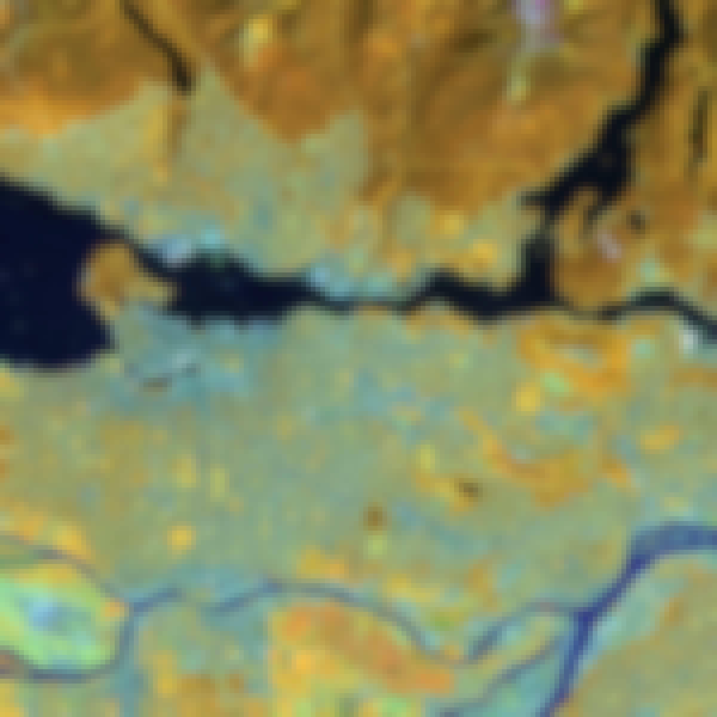
- Spatial Analysis and Satellite Imagery in a GIS: University of Toronto
- GIS Applications Across Industries: University of California, Davis
- Data Visualization using Plotly: Coursera Project Network
- Get Started with HubSpot: Coursera Project Network
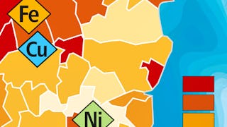
- Cartographie thématique: École normale supérieure
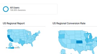
- Building Custom Regional Reports with Google Analytics: Coursera Project Network
- Oceanography: a key to better understand our world: Universitat de Barcelona
- ArcGIS for Beginners: Mapping Urban Green Spaces: Coursera Project Network
- Geodesign: Change Your World: The Pennsylvania State University
- Satellite Remote Sensing Data Bootcamp With Opensource Tools: Packt


